West Cumbria Map | Cockermouth & Wast Water | Ordnance Survey | OS Landranger Map 89 | England | Walks | Cycling | Days Out | Maps | Adventure
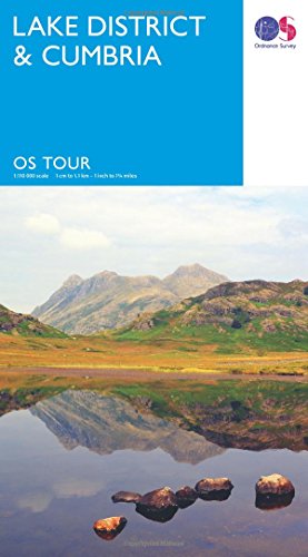
Lake District & Cumbria (OS Tour Map) 1:110K (TRAVEL MAP TOUR)
DK Eyewitness Milan and the Lakes (Travel Guide) Flexibound – April 18, 2017
Lake District Pathfinder Walking Guide | Ordnance Survey | Pathfinder 60 | 28 Outstanding Circular Walks | England | Nature | Walks | Adventure (Pathfinder Guides) Paperback – 6 Jun. 2016
The Rough Guide to the Lake District (Travel Guide) (Rough Guides)
Uinta-Wasatch-Cache National Forests: Salt Lake, Kamas, Evanston, and Mt. View Ranger Districts, Utah & Wyoming
Lonely Planet The Italian Lakes (Travel Guide)
Short walks in the Lake District (Collins Ramblers)
Lake District Pocket Map: The perfect way to explore the English lakes
DK Eyewitness Top 10 England's Lake District (Pocket Travel Guide)
Tour Lake District & Cumbria (OS Tour Map) Map – 24 Feb. 2016
Lakes NE (OS Explorer Map): OL05 (OS Explorer Active Map)
OS Explorer OL7: The Lake District, South-eastern area: OL07 (OS Explorer Map)
The Southern Fells (Walkers Edition): Wainwright's Walking Guide to the Lake District Fells Book 4 (Volume 4) (Wainwright Walkers Edition, 4)
Hiking Waterfalls in Northern California: A Guide to the Region's Best Waterfall Hikes Paperback – August 30, 2015
DK Eyewitness Top 10 Milan and the Lakes (Pocket Travel Guide)
I Never Knew That About the Lake District
OS Explorer OL6 The English Lakes - South Western area: OL 06 (OS Explorer Map)
Roaming America: Exploring All the National Parks
The Lake District OS Explorer Map: OL4 The English Lakes - North Western area: Showing part of the Lake District National Park: OL 04
Lake District Visitors Map (A-Z Visitors Map)
Lonely Planet Lake District & Cumbria Planning Map 1
Lake District: High Fell Walks Paperback – May 12, 2015
Rick Steves Snapshot Milan & the Italian Lakes District (Rick Steves Travel Guide) Paperback – February 4, 2020
Lake District Raised Relief Map: Dark Wood Framed (Raised Relief Maps Series) Map – 31 Aug. 2007
UK National Park Wall Map - The Lake District - Large 120cm X 150cm Wall Map - Ordnance Survey's Landranger Base, Great For Walkers, Adventures, Explorers And Outdoor Enthusiasts
Lake District Mountain Biking - Essential Trails
Wainwright Fells Map Poster Lake District Tick List (A2 (594 x 420mm))
Lake District BMC (British Mountain Map)
Maps International Wainwright Summits Collect&Scratch Off Lake District Print For Walkers- 59 x 42 cm
The Lake District in 101 Maps and Infographics: 134 pages of maps, illustrations and infographics celebrating the unique culture, landscape, history, ... and people of the Lake District and Cumbria.