Your One-Stop Destination for Dinos Illustrated Maps
Enjoy special offers on top-rated Dinos Illustrated Maps items before they’re gone.
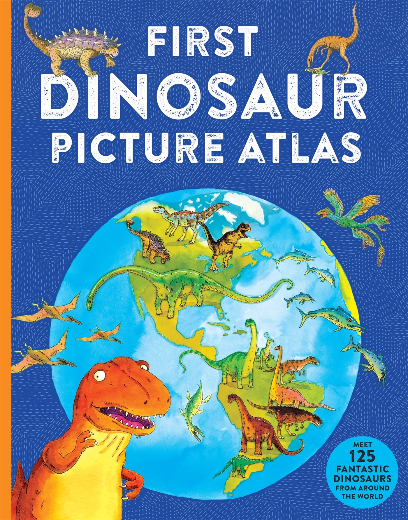
First Dinosaur Picture Atlas: Meet 125 Fantastic Dinosaurs From Around the World
Dino's Illustrated Maps 2-Pack: Solar System and World
Atlas of Dinosaur Adventures: Step Into a Prehistoric World
Waypoint Geographic Children’s Illustrated Solar System Map 500-Piece Jigsaw Puzzle, Puzzles For Kids, Jigsaw Puzzles for Endless Fun, Educational Puzzles for Personalized Gifts, 24″ x 36”
Dinosaurs: By the Numbers
Scribblers' Dinosaur Atlas (Scribblers Atlas)
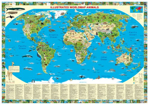
Children's Illustrated World Map Animals ~ Flat paper wall map
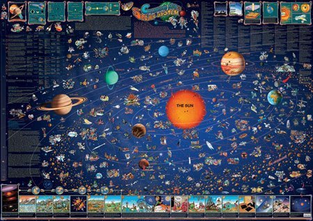
Solar System Map Dinos Childrens Illustrated Map
Children's Dinosaur Atlas: An interactive and fun way to explore the prehistoric world
National Geographic Dinosaurs Hardcover
PENGUIN Where Is the Eiffel Tower?
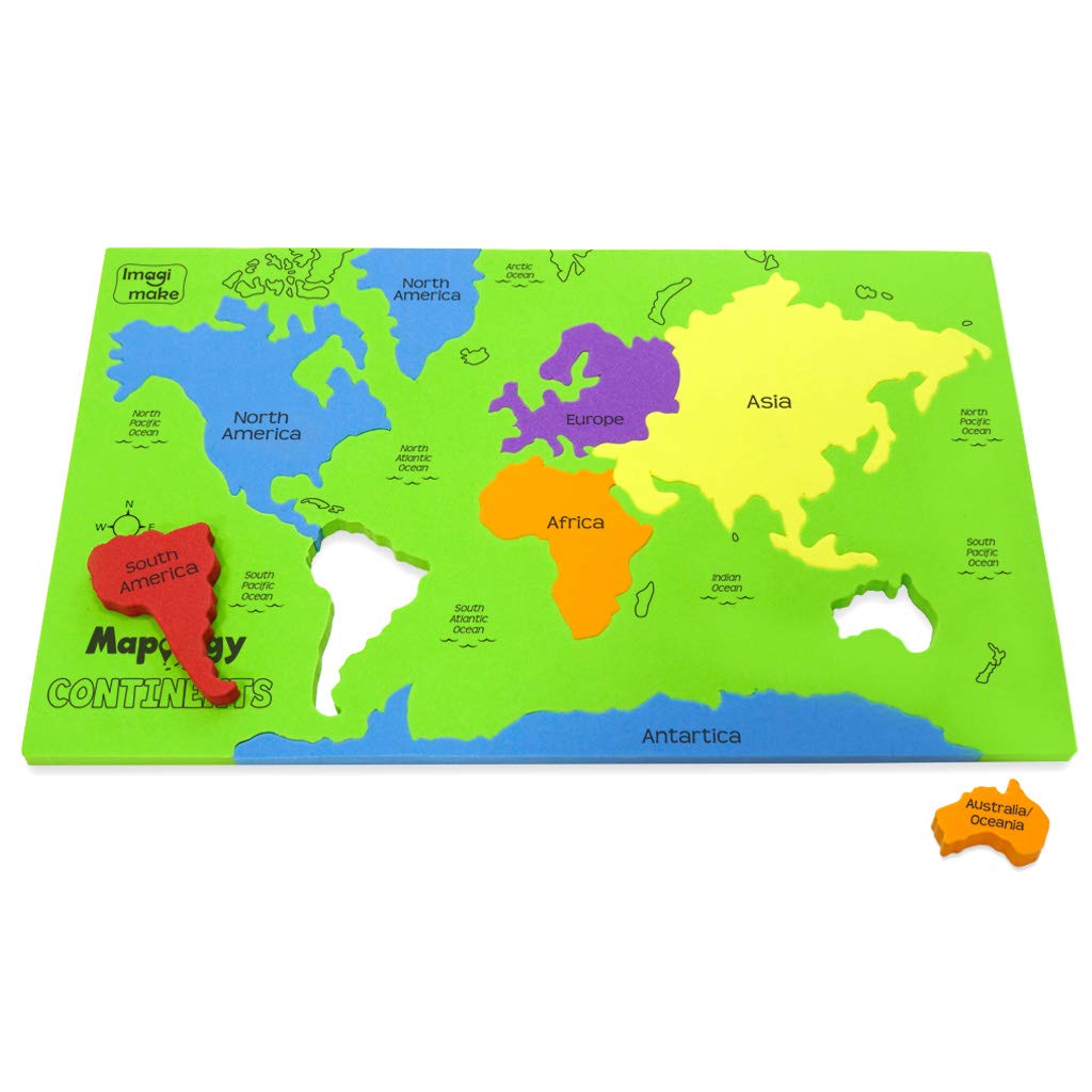
Imagimake Mapology Continents - Educational Toy and Learning Aid for Boys and Girls - Map Puzzle, Kid
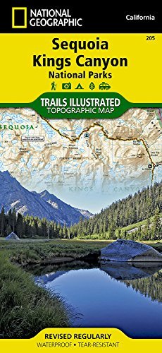
Sequoia and Kings Canyon Parks Map: Trails Illustrated National Parks (National Geographic Trails Illustrated Map)
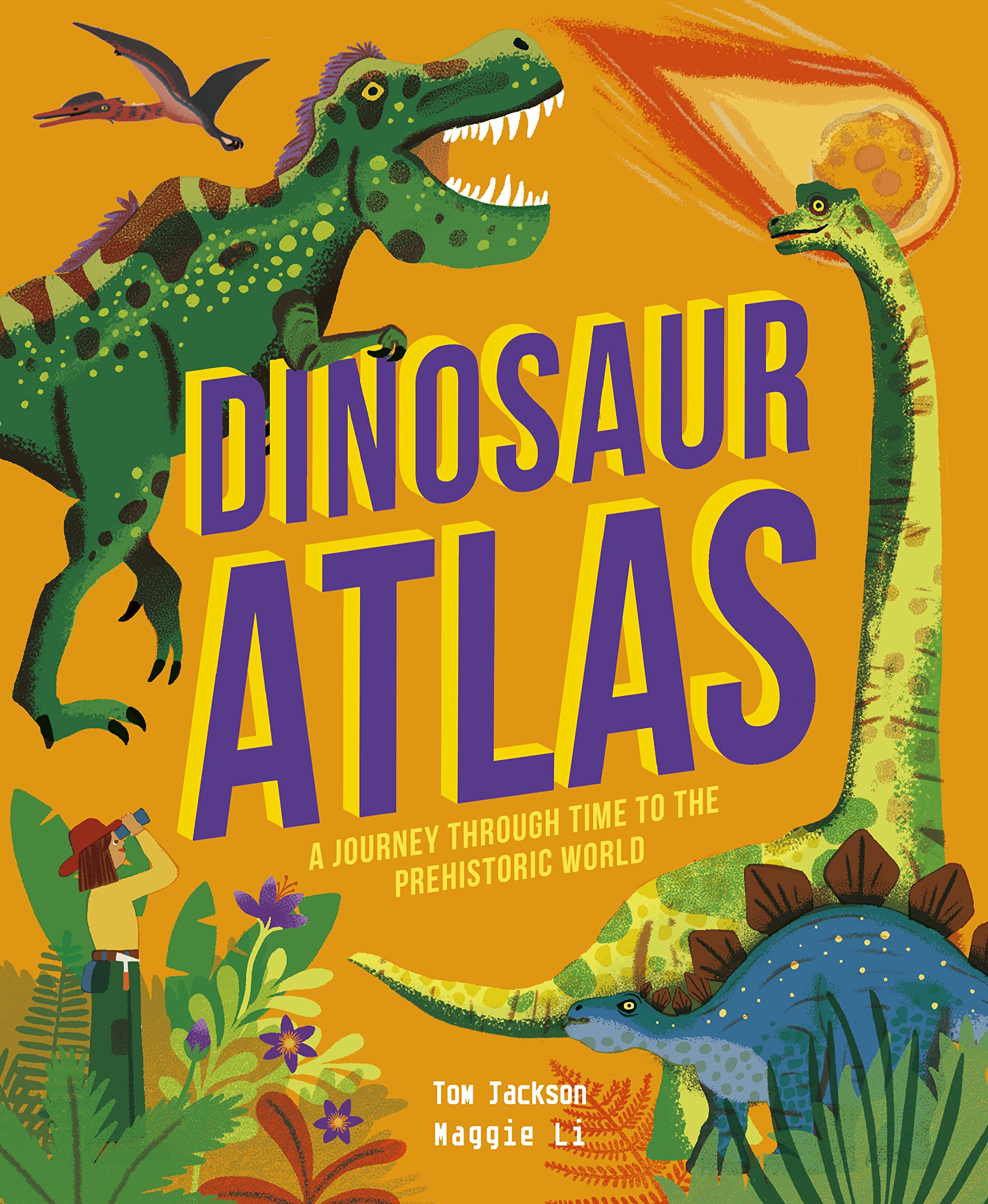
Dinosaur Atlas: A Journey Through Time to the Prehistoric World
Editone International India & World (Political & Physical) Map for Wall with QR Code | Competitive Exam Preparation for UPSC, IAS, IPS, with Non-Laminated Paper Print (English) Poster – Poster Calendar, 22 November 2024
First Dinosaur Encyclopedia
National Parks Maps: Illustrated Maps of America's 62 National Parks
India & World Map ( Both Political & Physical ) with Constitution of India Chart, History of India Chart & Geography Terms Chart | Set Of 7 | Useful for UPSC and other exams | By VCP Product Bundle – Folded Map, 1 January 2021
Big Bend National Park Map (National Geographic Trails Illustrated Map, 225)
India & World Map ( Both Political & Physical ) with Constitution of India, Indian History, Indian Economy & Geographical Terms Chart | Set Of 8 | Useful for UPSC and other competitive exam preparation | by Hivex Publication Product Bundle – Wall Map, 30 December 2021
Dino's Illustrated World Geographic Our Solar System Puzzle for Kids Ages 4+ 100 Piece Illustrated, Colorful Puzzle (13" H x 19" W) DP008
STRIFF World Map Extended Size (800 mm x 300 mm x 2 mm) Gaming Mouse Pad| Desk Mat | Stitched Edges| Non-Slip Rubber Base|Computer Laptop|Keyboard Mouse Pad for Office & Home (World Map)
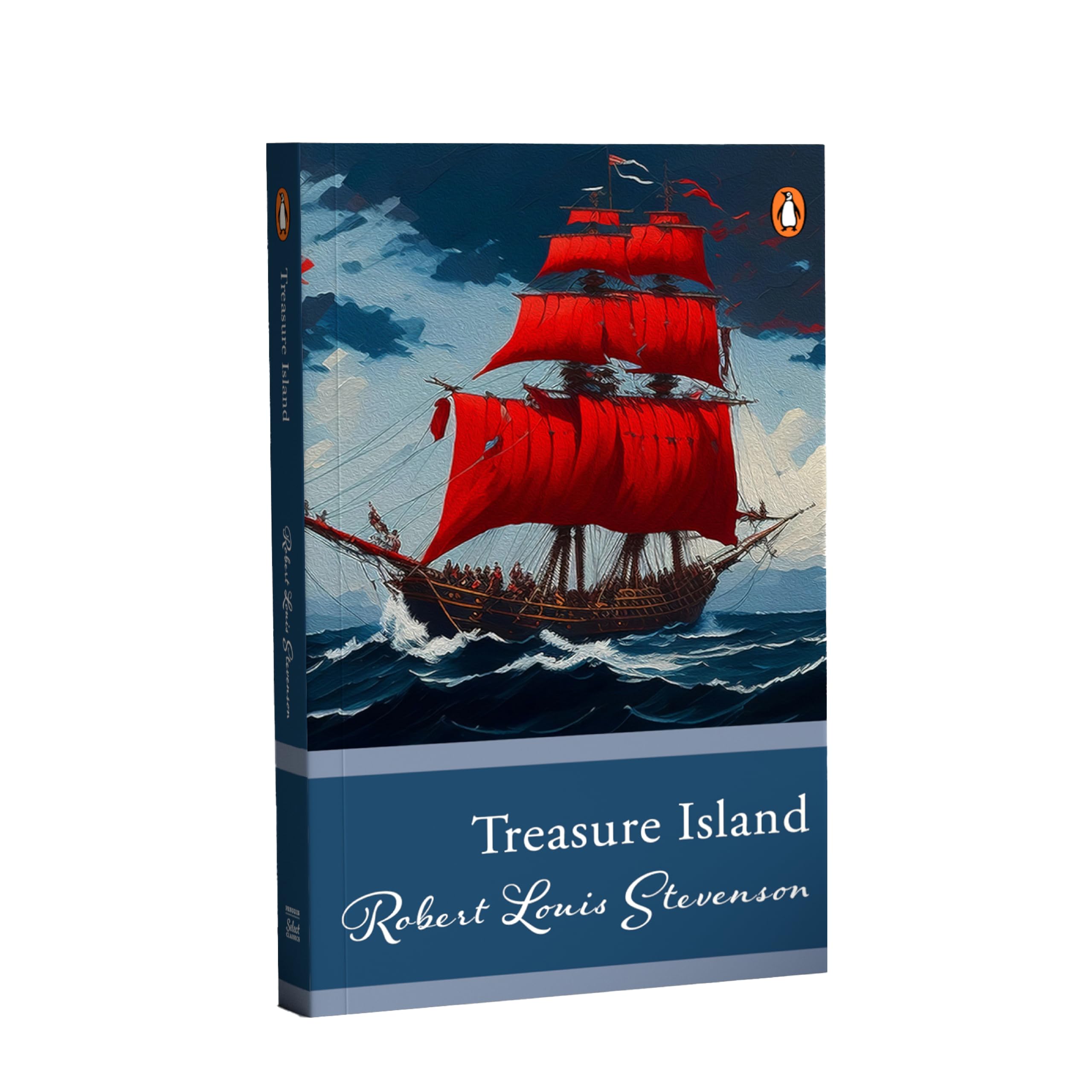
Penguin Select Classics: Treasure Island: (Original, Unabridged Classic) Paperback – 21 October 2024
The Complete Illustrated Encyclopedia of Dinosaurs & Prehistoric Creatures: The Ultimate Illustrated Reference Guide to 1000 Dinosaurs and Prehistoric ... Commissioned Artworks, Maps and Photographs
UnikPlay Geografika Map Game with Illustrated Map & 40 Game Cards – Learning with Fun for Kids Aged 6+ | Educational Geography Board Game for Children – Learn Fun Facts (World)